Valley map
The area, measured
Driving distances from the farmstead, as Vanessa gives them to her guests. You can walk to the village and to the bridge over the Pesa.
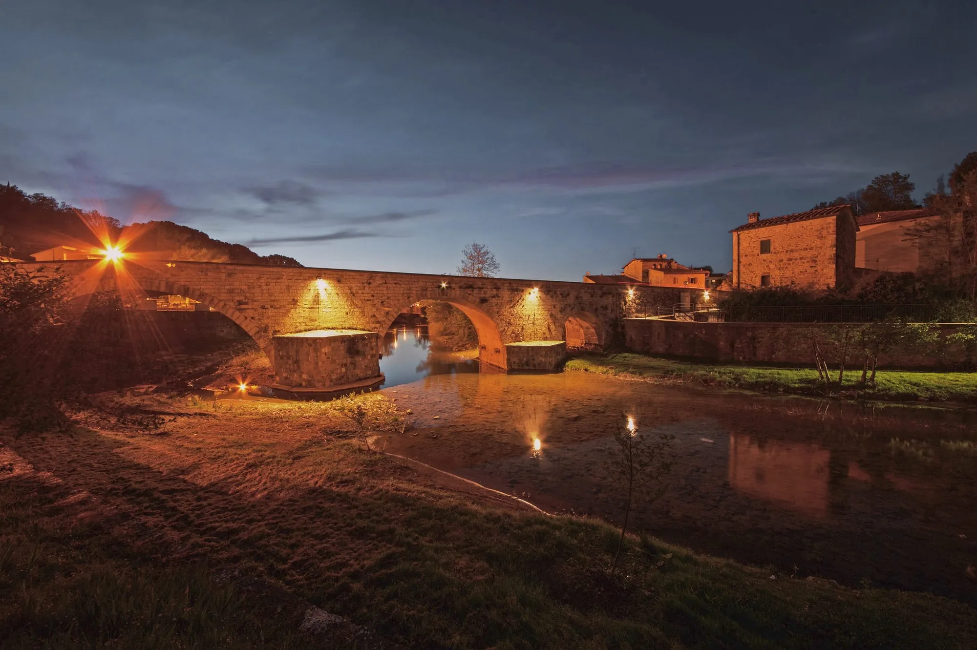
- Sambuca and the bridge over the Pesathe village and its shops1 km (0.6 mi)
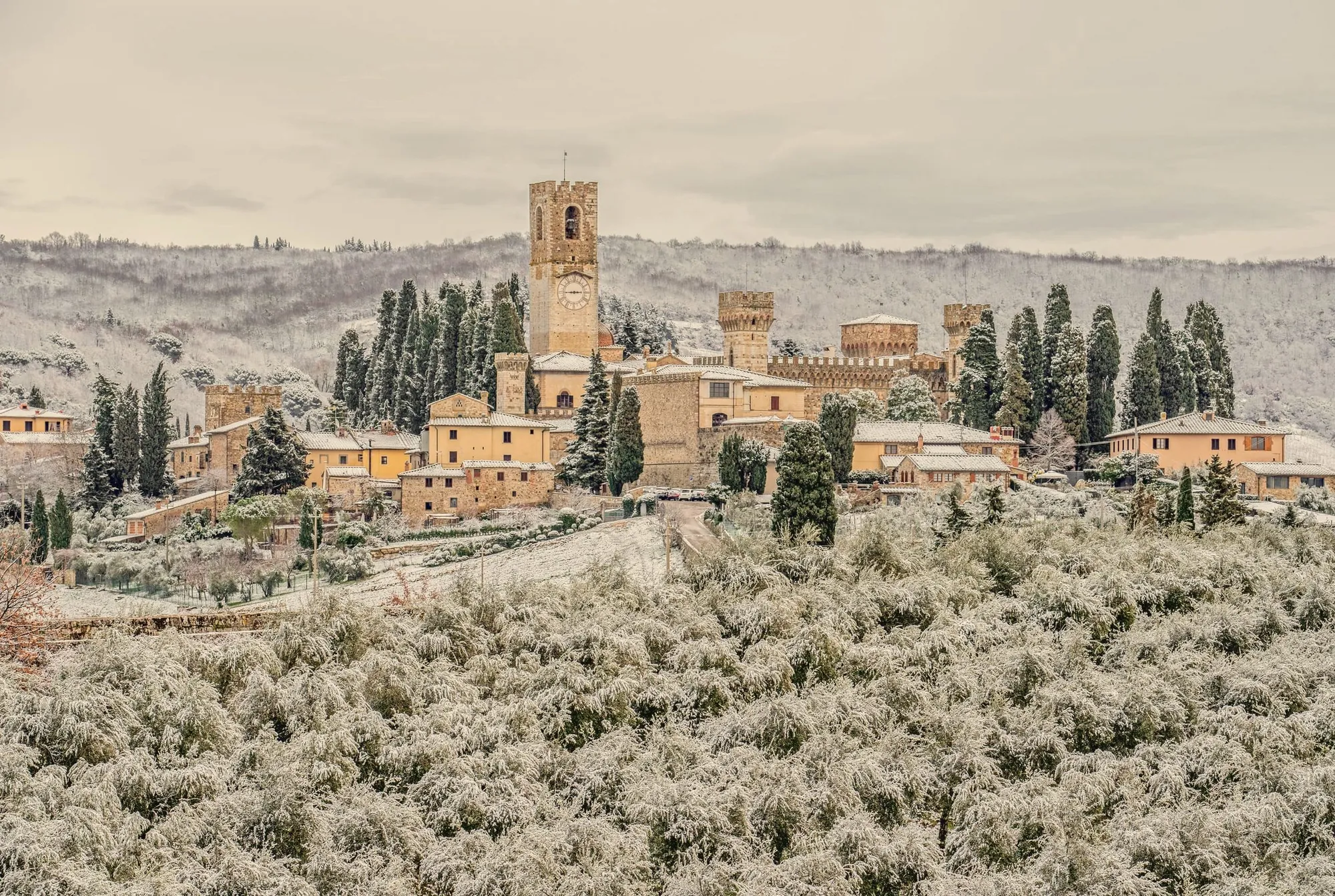
- Badia a Passignanothe abbey among the vineyards3 km (1.9 mi) · 5 min
- Antinori winery in Chianti Classicotours and tastings5 km (3.1 mi) · 7 min
- San Donato in Poggiothe walled village and Palazzo Malaspina6 km (3.7 mi) · 5 min
- San Casciano in Val di Pesa9 km (5.6 mi) · 10 min
- Greve in Chiantithe village square12 km (7.5 mi) · 20 min
- San Gimignanothe towers25 km (15.5 mi) · 25 min
- Florence30 km (18.6 mi) · 25 min
- Siena45 km (28 mi) · 30 min
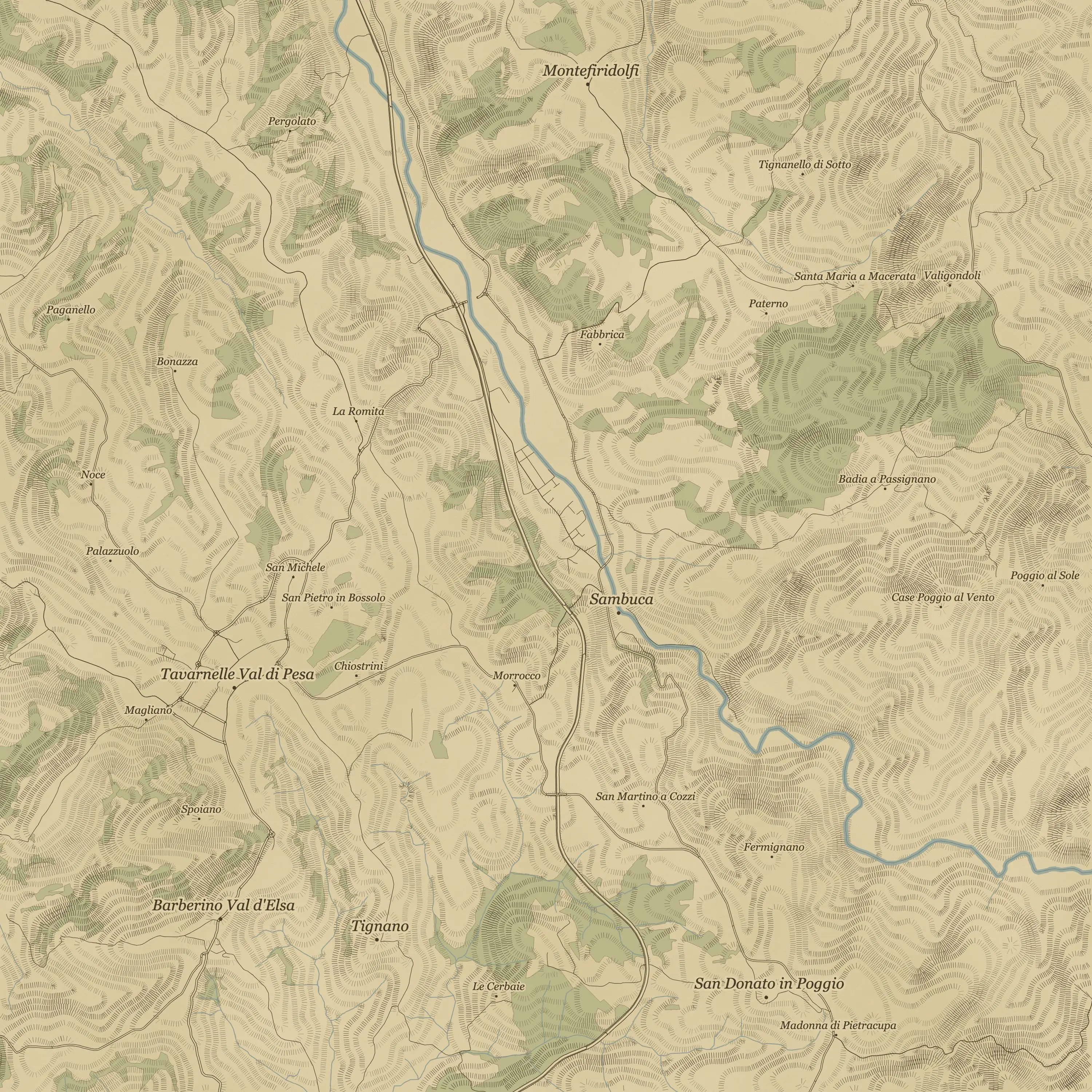
The Val di Pesa, drawn by us in the style of the 1830 land-survey maps.
By loading Google Maps, you consent to Google recording your visit and using cookies. The map will not load without your consent. Your choice applies to the whole site for 6 months and can be changed under “Cookie preferences”. Privacy notice